Planning to hike the Chain Lakes Loop in Washington? Discover trail details, parking info, alpine lake views, wildflowers, and tips for exploring this beautiful Mount Baker Wilderness hike.

Planning to hike the Chain Lakes Loop in Washington? Discover trail details, parking info, alpine lake views, wildflowers, and tips for exploring this beautiful Mount Baker Wilderness hike.

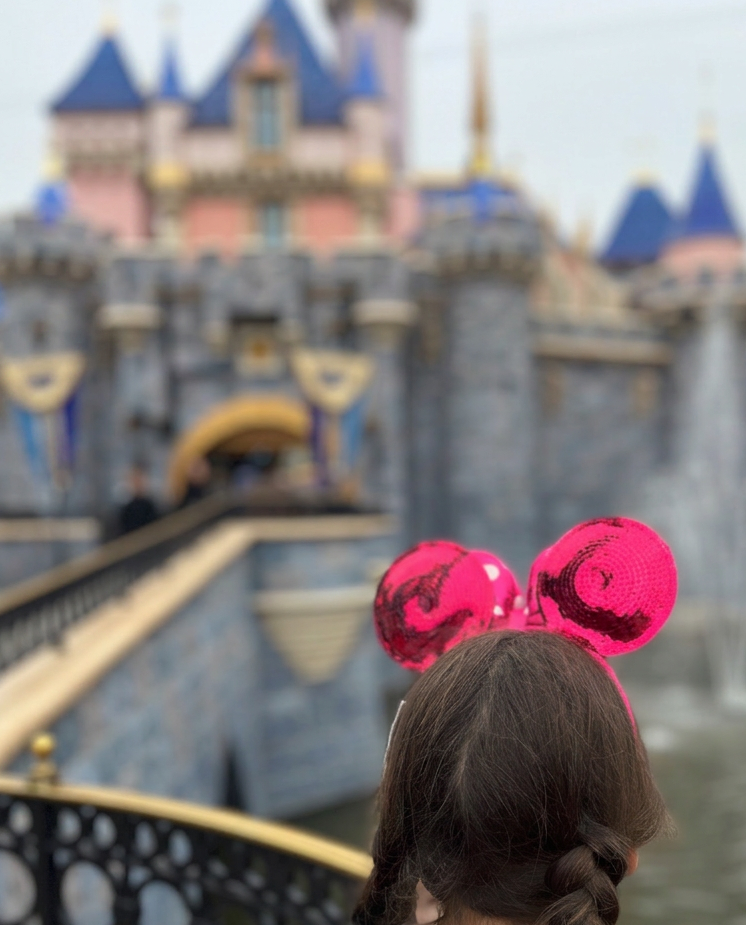
Discover what it’s really like to hike Diamond Head Crater in Oʻahu, including reservations, parking, trail details, history, and family friendly hiking tips.

Planning to hike the Ka’iwa Ridge Trail (Lanikai Pillbox Hike) in Oʻahu? Discover parking tips, trail difficulty, history, and helpful advice for hiking with kids on this popular ridge hike.

Planning to hike Koko Head Crater Trail in Oahu? Here’s our family’s honest experience plus tips, parking info, history, and everything you need to know before climbing the famous stairs.

Hiking Mailbox Peak, Mount Si & Celebrating at Snoqualmie Falls Brewery

Family Snowshoeing Guide: Myrtle Falls at Mt. Rainier

Looking for the perfect post-hike stop in the Columbia River Gorge? Thunder Island Brewing Co in Cascade Locks offers Mountain View’s, craft beer brewed with adventure in mind, and a relaxed, family-friendly atmosphere. Whether you’re coming off the trails near Bridge of the Gods or just exploring the Gorge with your kids, this spot is the ideal place to unwind, refuel, and take in those incredible river views.

October in Washington State is one of the most beautiful seasons and the perfect time to visit . The Golden Larches are on full display if you are lucky enough to catch them..they turn the bright golden color for such a short time before they lose their needles . The weather is a little of everything …sunshine,rain and even some snow and the mountains are basking in the final streams of sunshine as they prepare to welcome winter.

Colchuck Lake~Gateway to the Enchantments~Hiking the in the Cascade Mountains~Leavenworth,Wa

Kamiak Butte Trail is a beautiful trail tucked into the rolling Palouse farmland and comes with some great view points that is near Pullman ,Wa. It was the perfect trail to stretch our legs after a long drive and take in the beauty of the area. I love that the landscape is so differant there… Continue reading Kamiak Butte Trail
